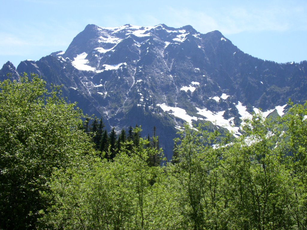
 Left: Big Four, view from Mountain Loop Highway
On Friday, I did the first real mountain climbing I've done this year. I hate to be a mountain snob, but anything under 4,000 feet is not a real mountain. I'm sure there are others who feel than anything under 6,000 or 8,000 or 10,000 aren't real mountains, so at least I'm not as restrictive as others.
 Left: Perry Creek crossing at 2 miles
After checking every website I know to find trip reports, I decided on Mt. Forgotten. Last time I was up there was right around 1998, and (pardon the bad joke) I had forgotten just how spectacular it is. It isn't the most difficult hike at 3.5 miles each way and about 2000 feet of elevation gain to the meadows, but the trail isn't in the best condition in spots. That much I did remember. I left home early and got to the trailhead at about 6:30. I'm very slow. I take a lot of pictures. I took 147 on this trip. That could be, in large part, why it took me 4 hours to reach the meadows. However, I will concede that I take a lot of breaks and I am not in good condition. Once the asthma and the allergies kick in, I can't breathe and I get pretty fatigued, so I would go slow even if I didn't have the camera.
 Left: Pika
I didn't see much in the way of wildlife. I saw some pikas, some chipmunks, some birds, some bugs, some slugs. That's about it. I did hear a woodpecker at one point in the forest, and I heard a grouse or a ptarmigan while I was up in the meadows overlooking the peak, but hearing things counts for nothing.
Anyway, the waterfalls off of Mt. Stillaguamish are visible and audible from across the valley. They're pretty impressive. Perry Creek is a little tricky to cross because the big log that used to make such a great bridge has collapsed partially into the creek, so you get your feet a little damp on the way to the other side. There's quite a difference in the trail before and after the Perry Creek crossing. Before you cross the creek, you're traversing the shoulder of Mt. Dickerman in an open valley. The trail is a little rocky in spots, but not very steep. It is very warm in that valley. You have a view across the valley and up the shoulder of Mt. Dickerman, not to mention back down the valley toward Big Four, the whole time. The moment you cross the creek, you're in the woods. No views, cooler, quieter. The trail gets steeper and rocks are traded for roots. The camp robbers show up if you take food out.
There is still some snow on the trail, but I managed to stick pretty close to it by following the footprints of others, the blazes on the trees, the red trail maintenance flags, and the logs that had been cut apart where they had fallen and obstructed the trail. Just below the first viewpoint, you hit the solid snow. It is packed down pretty hard and is a few feet deep, so I wasn't postholing through it at all. I got to the viewpoint and snapped a few shots of Mt. Forgotten, Mt. Stillaguamish, White Chuck, Mt. Baker and Mt. Shuksan. I chatted for a moment with a guy who had camped there the night before and headed up to the meadows.
After the viewpoint, the trail is a little harder to follow. The snow is patchy in the trees, but the footprints are harder to follow and there are no other real signs of the trail. Still, if you just keep those cliffs in view to the left, you get to the meadows.
The meadows are currently solid snow. It is very pretty, and there has been so little traffic up there this year that the footprints are nearly invisible. I had the meadows entirely to myself. I glissaded down one slope just for kicks before heading up to the real views. From the meadows proper, you can see Three Fingers, Whitehorse, White Chuck, Glacier Peak, Mt. Forgotten, Sheep Mountain, Mt. Dickerman, Big Four, Mt. Baker, Mt. Shuksan, and many others too numerous to name. It is spectacular. I plopped down in the snow with Mt. Forgotten to my left and Glacier Peak in front of me to eat lunch. I stuck my apple and cheese into the snow to let them cool off while I ate my beef jerky chunks and took off my outer layer to cool down. My lily-white shoulders turned very, very pink. Stretched my legs, relaxed, took in the view. Then I ate my ice-cold apple and cheese.
Here's where I got stupid. I wanted to go out to the rock outcrop with the best view of Mt. Baker. I didn't make it, but I tried. The path, even in the best of circumstances, is steep and treacherous, and right now it is partially obscured with snow. I slid down the slope to the one very small patch of dirt that I could see of the trail, then went about 10 feet to the big patch of snow that is obscuring the rest of the trail. My intention was to climb over that snow, but from that angle I could see that it was very thin. I chickened out and turned back. Kickstepping back up that slope was not easy - it was about 12 feet up and very steep, probably a 60 degree angle. I finally made it back up and decided it was time to head back home.
The trip down was uneventful until I reached the second creek crossing. Trail maintenance folk from the WTA had showed up and they were working on the trail. At that moment, they were building a rock "bridge" to cross that creek. I walked over, complimented them on their handiwork, chatted for a moment, and headed out.
My second mistake of the day was to try to take I-405 home. I drove in first gear - when I was actually moving, that is - for an hour before finally making it to the I-90 exit. Next time I'm hiking in the North Cascades, I'll take highway 2 or 20 over the passes and drive South on the other side of the state, then take the Mt. Rainier loop to get home. It might add some miles, but it will probably take less time and the veiw will be more enjoyable.
Anyway, the day was fantastic. I highly recommend this hike. Blogger won't let me upload more pictures, so you can find all of them on Webshots.

No comments:
Post a Comment